欢迎来到相识电子书!
标签:gis
-
Web Mapping Illustrated
With the help of the Internet and accompanying tools, creating and publishing online maps has become easier and rich with options. A city guide web site can use maps to show the location of restaurants, museums, and art venues. A business can post a map for reaching its offices. The state government can present a map showing average income by area. Developers who want to publish maps on the web often discover that commercial tools cost too much and hunting down the free tools scattered across Internet can use up too much of your time and resources. Web Mapping Illustrated shows you how to create maps, even interactive maps, with free tools, including MapServer, OpenEV, GDAL/OGR, and PostGIS. It also explains how to find, collect, understand, use, and share mapping data, both over the traditional Web and using OGC-standard services like WFS and WMS. Mapping is a growing field that goes beyond collecting and analyzing GIS data. Web Mapping Illustrated shows how to combine free geographic data, GPS, and data management tools into one resource for your mapping information needs so you don't have to lose your way while searching for it. Remember the fun you had exploring the world with maps? Experience the fun again with Web Mapping Illustrated. This book will take you on a direct route to creating valuable maps. -
空间数据分析与R语言实践
《空间数据分析与R语言实践》较全面地介绍了R应用于空间数据分析的原理和方法。在介绍R中空间数据类、方法、空间对象、空间点类、空间线类、空间面类及空间网格的基础上,首先介绍了空间数据的可视化、空间数据的导入导出、空间数据的处理及定制多点数据、六角形网格、时空网格及大型网格数据类的方法;然后介绍了空间点模式分析、插值与地统计分析、面数据和空间自相关分析和面数据建模;最后介绍了空间数据分析在疾病数据制图及分析中的应用。 -
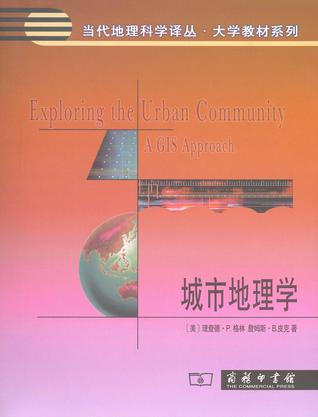
城市地理学
本书是一本城市地理学综合教科书,涵盖了城市地理学的传统内容,并与时俱进地增加了当前的研究文献、相关数据以及更前沿性的研究选题。本书综合了这些前沿课题,并运用城市地理学的概念和方法、实证和案例、GIS技术和空间分析等来解释城市地区内部和城市地区之间的空间模式和发展趋势。其中运用GIS分析了全球三个巨型城市芝加哥、洛杉矶和墨西哥城的成长和变迁过程。该方法强化了传统的空间分析功能,并为学生提供了现代方法来研究城市,这一方法可用到其他城市地区的研究中。 -
基于GIS的数量方法与应用
王法辉,现任路易斯安那州立大学地理与人类学系教授、中国文化与商业中心主任。 -
地理信息系统(上卷)
本书由90多位成就卓著的GIS学者撰写而成,是目前GIS领域引用最多的参考书,也是对GIS多年来发展的一个总结。全书包括原理、技术、管理与应用四篇内容,系统阐述了GIS的科学概念、科学渊源、学术观点、基本原理、支撑技术以及管理与应用方法,全面展示了20世纪90年代以来GIS领域所取得的主要成就,并深入剖析了GIS的未来发展趋势。本书分为上下两卷,上卷共40章,下卷共32章。上卷系统阐述了GIS的原理与技术方法,下卷全面介绍了GIS的管理与应用方法。 本书可供与GIS相关的教学和科研人员参考,也可供对GIS感兴趣的其他人员参考。
热门标签
下载排行榜
- 1 梦的解析:最佳译本
- 2 李鸿章全传
- 3 淡定的智慧
- 4 心理操控术
- 5 哈佛口才课
- 6 俗世奇人
- 7 日瓦戈医生
- 8 笑死你的逻辑学
- 9 历史老师没教过的历史
- 10 1分钟和陌生人成为朋友


